
Silver Firs Neighbors by Source
Public records describe the block in layers. SCOPI supplies parcel shapes and account links. The assessor supplies a current property account. Recording supplies deeds, plats, easements, and covenants. PDS supplies permit and drainage history. Silver Firs II publishes association governance material, but no public resident roster was found. A block lookup therefore means checking several narrow sources, not downloading a household list.
| Source | What It Shows About a Block | Access |
|---|---|---|
| SCOPI parcel map | Bordering lots, roads, shared tracts, aerial context | Free address map |
| Assessor roll | Parcel situs, displayed owner, taxpayer, value | Free parcel search |
| Recording index | Deeds, plats, easements, declarations, amendments | Account search, copies |
| PDS records | Permits, grading, drainage, and project history | Online search or request |
| Silver Firs II | Public meetings and common-area governance | Public association site |
An owner field is not an occupant field. It may name a trust, estate, company, or person who gets tax mail elsewhere. Directory and voter sources also carry distinct limits. Preserve the source date and exact role rather than turning every displayed name into a current neighbor.
Walk a Silver Firs Parcel Ring
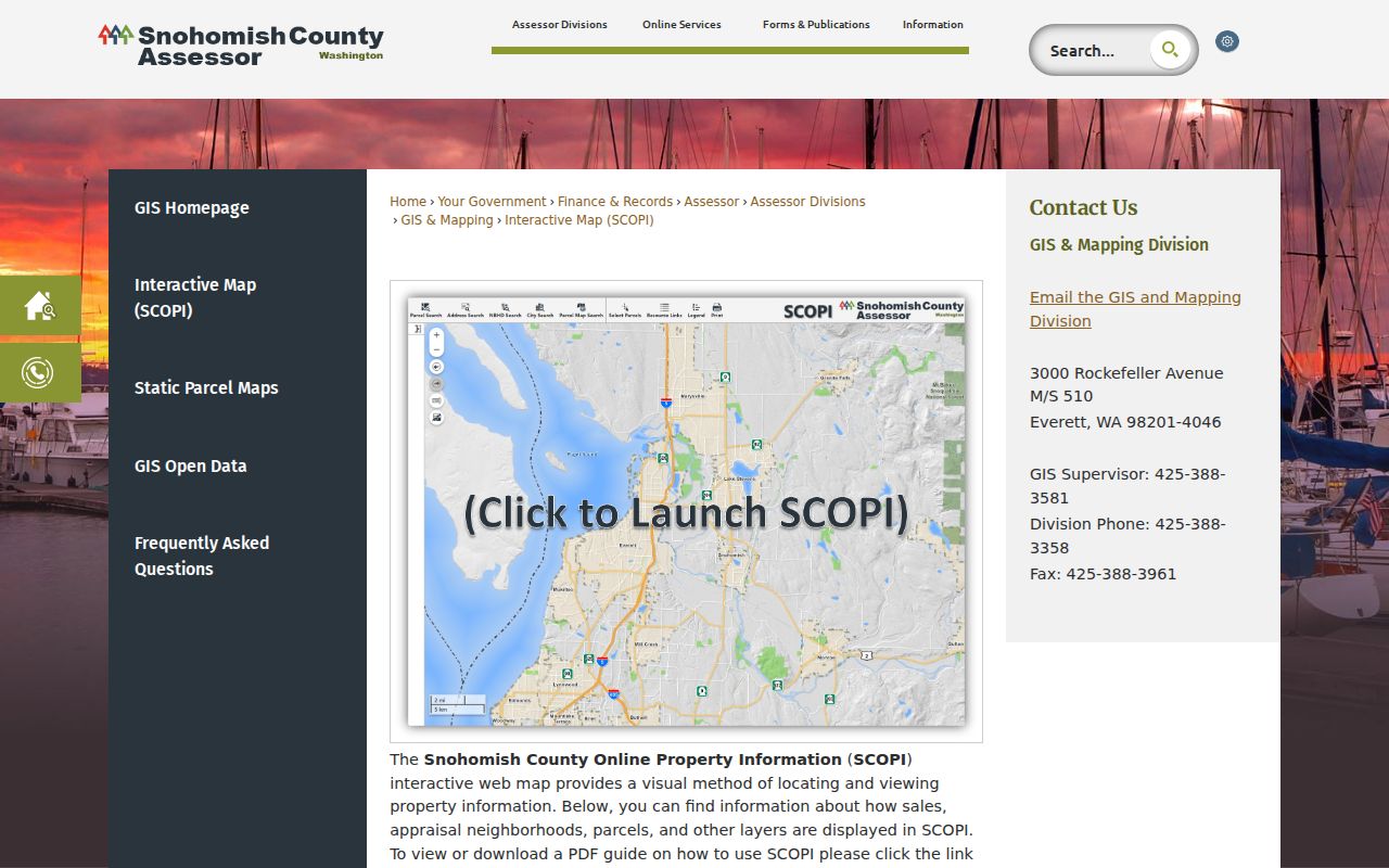
Open the target address in SCOPI, select the exact autocomplete result, and turn on parcel labels and an aerial layer. Click each lot that touches the target. Record its parcel ID, situs, gross acres, tax code, appraisal neighborhood, legal description, and the owner or taxpayer role shown. The map can return “Multiple Parcels” or a shared-interest parcel with blank account details. Open all associated parcels before assigning a boundary.
View the official SCOPI parcel map while selecting the starting lot and its bordering parcels.
- Select the target and save its parcel ID.
- Click every bordering parcel in turn.
- Open each Property Account Summary and compare situs with mailing data.
- Save the aerial year and map date with the result.
- Move to the full Silver Firs street directory only when the task expands beyond the immediate block.
This process produces a repeatable parcel ring. It does not prove who occupies each structure. A lot line also may surround a road tract, detention pond, park, or association parcel rather than a home.
Silver Firs Parcel Geometry
The county GIS Open Data catalog offers “All Parcels (Past and Present)” and cadastral annotation. Those downloads can preserve the geometry behind a block study and are updated three times weekly, but the current SCOPI account should control what the public interface shows now. Record the download date and version. Compare it with the plat when a boundary looks odd.
SCOPI’s guides also identify recent aerial layers, including urban imagery from 2024 and earlier layers from 2022, 2021, 2020, 2018, and 2017. Aerials can show when roads, park edges, or detention features appeared. They should not be used to infer who was present at a house.
Silver Firs Community Governance
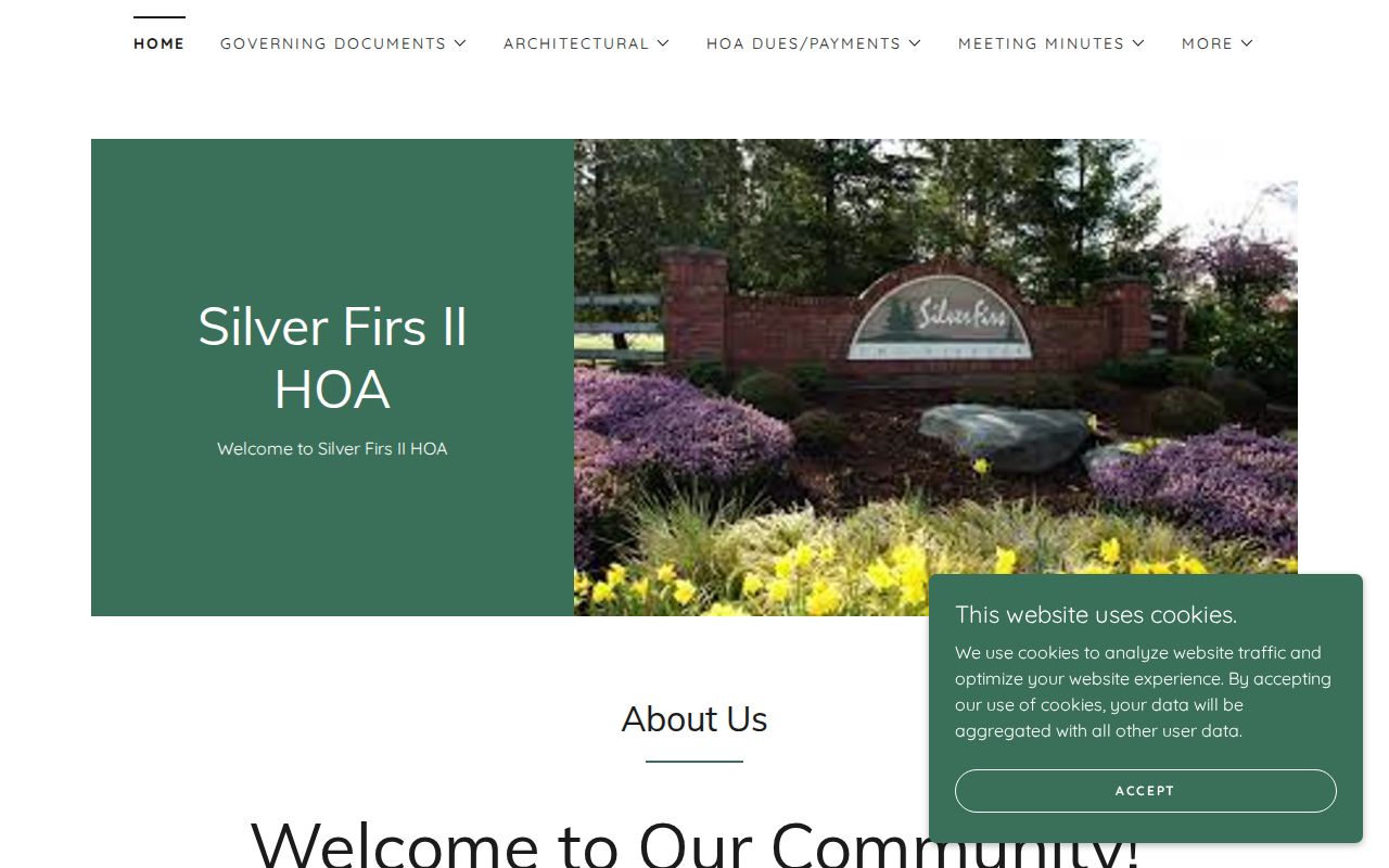
The Silver Firs II HOA site describes an unincorporated county community and posts public governance and meeting material. Use its terms to identify the association or common-area question, then check CCFS for the legal entity and Recording for declarations, covenants, easements, and amendments. No countywide directory of every Silver Firs association was found.
View the Silver Firs II public association page for current meeting and governance context.
| Community source | Use | Limit |
|---|---|---|
| Association page | Meetings, notices, terminology | Not a resident roster |
| CCFS | Entity name, UBI, status | Agent address is not occupancy |
| Recording | Declarations and amendments | Parties are not all members |
Infrastructure Around Silver Firs Blocks
County drainage records describe a 788-acre Silver Firs residential community with pipes, detention ponds, and discharge near 156th Street SE. PDS can supply drainage, grading, right-of-way, occupancy, and subdivision records by parcel, address, or project number. Older or excluded files require a records request. These sources explain the physical block without naming its residents.
Keep a small inventory for each feature: parcel ID, road label, plat or sector, permit number, drainage file, aerial year, and source date. If the online project record is thin, ask PDS for the precise project and date range rather than requesting all neighborhood files.
Map Silver Firs Owners Carefully
After the parcel ring is stable, compare each SCOPI result with the assessor account. Mailing and situs addresses answer different questions. The Treasurer’s taxpayer record adds another role. A deed can establish a recorded ownership interval, while a directory may offer a dated residence lead. None alone identifies every person in a home.
- Locate the complete address in SCOPI.
- Click each bordering parcel and save its account ID.
- Compare owner, taxpayer, situs, and mailing fields without merging them.
- Check the current deed when ownership must be confirmed.
Record the update date for each system. If names differ, report both roles and dates. Do not guess that the newest-looking screen is right without checking how each office updates its data.
Official Records for Silver Firs Neighbors
Commercial neighbor tools can combine old addresses, inferred relatives, and purchased data without explaining the source date. Official systems are narrower but show the custodian and record role. For parcel facts, deeds, permits, and association instruments, that traceability matters more than a broad list.
| Choice | Strength | Weakness |
|---|---|---|
| County and state records | Named custodian, defined field, correction route | Split across portals and requests |
| Commercial category | May collect many possible leads | Unclear dates, inferred links, stale entries |
Use the official roll for its stated purpose. Keep the source URL and date. If a record is wrong, contact that custodian with its number and supporting proof.
Privacy on Silver Firs Blocks
Parcel records do not list all renters, relatives, guests, or household members. Utility and delivery account data is not a public block directory. Washington’s Address Confidentiality Program can protect a qualifying participant’s true address through a substitute address under RCW 40.24 and WAC 434-840. Voter forms, sealed court records, vital records, and driver information also have distinct restrictions.
Public voter fields under RCW 29A.08.710 are not permission to assemble a neighborhood roster. VoteWA is chiefly a self-lookup tool, and recent state and county actions show that data-release rules can change. Association membership material may also be private even when meeting notices are public.
Lawful use. Research the Silver Firs block only for lawful personal, civic, or safety purposes. Never use these records to watch, harass, threaten, or intimidate anyone.